Looking ridable coming up :) As usual, ignore the wind forecasts as they are reliably inaccurate.
This is from a weather station source:


SURFLINE.COM Virtual Buoy Forecast
Model Cycle: 2021 APR 13 00Z
Time Zone: GMT - 6 hours
-------------------------------------------------------------
             SURF    SURF DIR  SWELL  PERIOD   WIND    WND/DIR
             (ft)       (deg)   (ft)   (sec)   (kts)     (deg)
            -------  --------  -----  ------  -------  -------
4/13   6am   2 -  5   SW 216    3.0    15.5    2 -  3   NW 321
4/13  12pm   3 -  6   SW 220    3.3    16.8    3 -  5   SW 223
4/13   6pm   3 -  7   SW 219    3.4    18.9    3 -  4  WSW 239

4/14   6am   3 -  7   SW 219    3.7    17.8    7 - 10  ENE  58
4/14  12pm   3 -  7   SW 218    3.8    17.7    5 -  7  SSW 200
4/14   6pm   4 -  8   SW 216    3.9    17.1    5 -  7  SSW 197

4/15   6am   3 -  7   SW 218    3.9    16.6    6 -  8   NE  37
4/15  12pm   4 -  8   SW 219    4.2    16.3    6 -  8  WNW 281
4/15   6pm   3 -  7   SW 219    4.2    15.8    6 -  8    S 188

4/16   6am   3 -  7   SW 219    4.2    15.8    8 - 11   SE 135
4/16  12pm   3 -  7   SW 217    4.0    15.6    3 -  4    S 189
4/16   6pm   3 -  7   SW 213    3.9    15.6    4 -  6  SSW 199

4/17   6am   3 -  7   SW 211    3.9    15.4    4 -  6   SE 137
4/17  12pm   3 -  7   SW 214    4.0    14.9    4 -  5  SSW 202
4/17   6pm   3 -  7   SW 213    4.1    14.6    4 -  5   SW 211

4/18   6am   3 -  6   SW 215    3.9    14.3    0 -  0  ESE 111
4/18  12pm   3 -  6   SW 210    3.7    14.1    4 -  5  WNW 284
4/18   6pm   2 -  5  SSW 203    3.5    13.9    5 -  7  WSW 234

4/19   6am   2 -  5  SSW 203    3.4    14.0    3 -  4    N 350
4/19  12pm   2 -  5  SSW 206    3.5    13.8    3 -  5    W 261
4/19   6pm   4 -  8   SW 218    3.6    20.4    4 -  5  SSW 209
Central America Premium Analysis
The Bottom Line
- Swell Trend: Fun SW/SSW swell fills in through the first half of the week, peaks back half of the week
- Watch Out For: Large tide swings, with deep predawn and mid afternoon highs
- Other Tidbits: SPAC setting up stronger swell for next week
Tuesday, April 13th: 3-4′+ surf from building SW/SSW swell. Rising, long-period SW/SSW swell, setting up the most size in the afternoon/evening, with good exposures running stomach-shoulder high+. Mind the deep high tide mid afternoon, which bogs down the waves for most areas.
Wednesday, April 14th: 3-5′+ waves off rising SW/SSW swell. More SW/SSW swell moves in, showing strongest in the afternoon/evening, as well exposed spots have stomach to head high+ surf, and top breaks see some better sets. Deep high tides, predawn and again later afternoon, tends to slow down the surf at most spots.
Winds/weather: Typical wind pattern prevails.
Costa Rica: All areas see a diurnal pattern Tuesday — with calm to light offshore wind in the morning, followed by light+ to locally moderate onshore flow for the afternoon. By Wednesday, northern most areas are back to a persistent offshore flow, with spots from Playa Negra southward seeing onshores by the afternoon. Central and southern regions have light offshores Wednesday morning, followed by light+/locally more afternoon onshores.
Long Term Forecast Analysis (Thursday, April 15th and Beyond)
SPAC Overview:
There’s been a steady stream of progressively stronger looking storms moving through the central SPAC and into the east end of the ocean recently. Those lows have set up a good run of Southern Hemi swell for this week and beyond. By this Thursday, longer-period SW/SSW swell fills in for head-high to overhead zone surf at good exposures. Friday’s peaking swell mix has the surf up another notch, with more widespread head-high to 1-2′ overhead waves at better breaks. Those heights hold on Saturday, then slowly taper off by the end of the weekend. Still plenty of head surf left at good spots through Sunday.
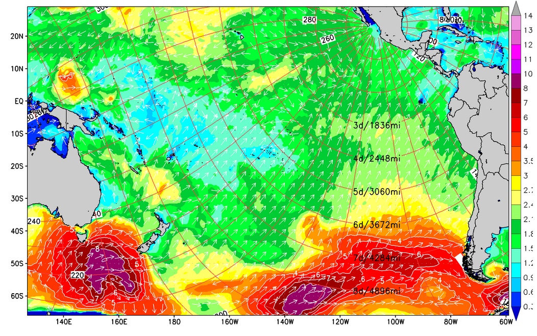
SPAC setting up more swell for next week.
An intensifying storm is expected to be spinning off South America later this week, and under that scenario, stronger Southern Hemi swell will be aimed our way for the upcoming week. The solid, long-period SSW swell starts filling in next Tuesday, then maxes out during the back half of next week, 22nd-24th time frame, with head+ to easily overhead waves for lots of exposures and more size at standouts. We’ll keep you posted on the progress of this developing storm/swell system.

No comments:
Post a Comment